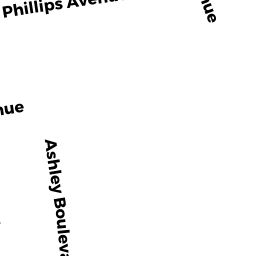
210 212 ASHLEY BLVD
Owner Information
JONES RICARDO J
210 ASHLEY BLVD
NEW BEDFORD, MA 02746


Property Details
210 212 ASHLEY BLVD is classified as a Three-Family Residential (3 family).
The primary structure on this property was built in 1916. There are 3,806ft2 of built area within this property. There is 3,806ft2 of residential/living space within this property. This property is listed as having 16 rooms. There are 3 units within this property.
210 212 ASHLEY BLVD is valued at $243,200. The land is valued at $62,000 and the structures are valued at $174,700. There is an additional valuation of $6,500 on this property.
This property is in Zone MUB. Confirm with local Zoning Board authorities to ensure there are no overlays or other easements on this property.
The most recent deed for 210 212 ASHLEY BLVD is recorded at the local registrar in Book 5826, Page 4. 210 212 ASHLEY BLVD was last sold on Monday, November 18, 2002 for $228,000.
Assessment data from fiscal year 2021.
Flood Data
According to the FEMA National Flood Hazard Layer, this property does not appear to be in a flood zone. It may also be in an area not yet reviewed. Nonetheless, confirm this information prior to taking any action.
To view the flood hazards around this property, create a FEMA "Firmette" Map of the area around 210 212 ASHLEY BLVD.
Broadband Internet Providers
| Provider | Type | Bandwidth (mbps) | |
|---|---|---|---|
| Verizon New England Inc. | DSL | 7 | 0 |
| Comcast | Cable | 1000 | 35 |
| Viasat Inc | Satellite | 35 | 3 |
| GCI Communication Corp. | Satellite | 0 | 0 |
| HughesNet | Satellite | 25 | 3 |
| VSAT Systems, LLC. | Satellite | 2 | 1 |
Broadband service provider data from December 2020.
Adjacent Properties
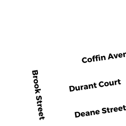
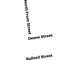
- 142 144 DEANE ST
Three-Family Residential owned by HERNANDEZ MARTIN - 146 148 DEANE ST
Three-Family Residential owned by ANDRADE CARLOS S - 150 152 DEANE ST
Three-Family Residential owned by SOARES CARLOS P - 208 ASHLEY BLVD
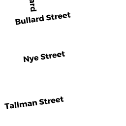
Single Family Residential owned by VARELA JOAO G - 117 BULLARD ST
Apartments with Four to Eight Units owned by ANDRADE LAUDIA - 115 1/2 BULLARD ST
Apartments with Four to Eight Units owned by ARHAT LLC